A New Frontier – Rating Curves from Space?
Early in my career, frequent field visits were necessary to wind the recorder clock; flush the intakes; replace the paper chart; and keep the pen ink reservoir full. Modern gauging technology is much more reliable so the requirement for frequent field visits is primarily to obtain rating measurements. Station health can be monitored remotely; data are communicated in real-time; and solid state electronics require little maintenance resulting in little need for regularly scheduled field visits.
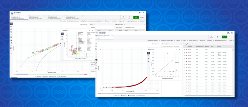
What is needed now is some way to reduce our reliance on brute force methods for rating curve calibration and validation.
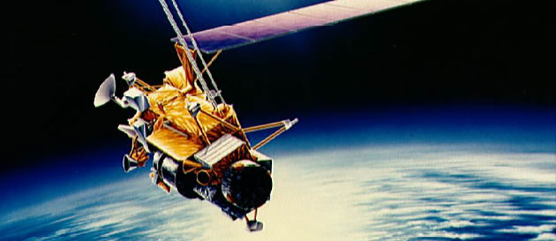
Nathanson et al. (2012) describe a method to model rating curves using Light Detection and Ranging (LiDAR) data. The method is not fundamentally different than simply using a Total Station survey to develop the boundary conditions for a 1D hydrodynamic model. What is novel is doing the survey from a helicopter. A helicopter may be a bit expensive but why couldn’t you use a remotely controlled Paralight that could be backpacked into a remote location for the survey? Or for that matter why not just do the survey from a satellite passing by in orbit? After all, once you have a detailed survey of the channel reach then the calculating discharge for any given stage is merely a function of solving for the laws conserving energy, mass and momentum.
Standard 1D flow models use a bulk roughness coefficient (e.g. the Manning coefficient) - which can vary with stage - meaning that discharge and slope measurements are required over the range of stage in order to estimate the required roughness coefficients. Nathanson et al. used the Kean and Smith (2010) model which can use elemental roughness that can be inferred from the high resolution topography. Therefore a detailed survey at very low stage can, theoretically, provide all of the information needed to calibrate a rating curve over the full range of stage.
In principle, there is no reason I can think of why the method wouldn’t work with data from a space-based platform given sufficient resolution of the data.
I don’t think that current meters and ADCPs are going to be committed to the museum just yet. There are a number of practical issues. The data handling and modeling effort is specialized and intensive resulting in a chicken or egg problem. Software could be developed to make this method more accessible but investment in user friendly software probably won’t happen until there is market demand. There will need to be some guidance developed in how to calibrate the bed roughness heights from measurements of the bed surface for different type of bed material. The model requirements are somewhat limiting (a reach 10 times longer than width, gravel bed roughness elements that are small with respect to depth, rigid bank or floodplain vegetation and width to depth ratios of 10 or greater). Validation and updating (e.g. for shift corrections) such models will be problematic at many locations.
Bathymetric LiDAR (which uses both Near Infra- Red and Green light to provide both terrestrial topography and bathymetry) may be useful to monitor channel control conditions and determine whether validation measurements are required. Techniques for object-based classification of LiDAR data can provide water surface elevation.
Such technologies deployed from low cost remote controlled aircraft may pave the way for space-based observation systems in the future.
Hydrographers who are just starting their careers now will, perhaps, one day be able to reminisce on the days when they had to make frequent field trips to obtain rating measurements. I can only hope that they will be assigned their own rocket ships to service their gauges on a spacewalk mission. That would be about the only thing that would compensate for the loss of any excuse to jump in the truck head out in the field.
Nathanson M., J.W. Kean, T.J. Grabs, J. Seibert, H. Laudon and S.W. Lyon. 2012. Modelling rating curves using remotely sensed LiDAR data. Hydrol. Process., 26: 1427–1434. DOI: 10.1002/hyp.9225
Kean, J.W. and J.D. Smith. 2010. Calculation of stage-discharge relations for gravel bedded channels. Journal of Geophysical Research – Earth Surface. 115:1-15. DOI: 10.1029/2009jf001398