Announcements & Awards
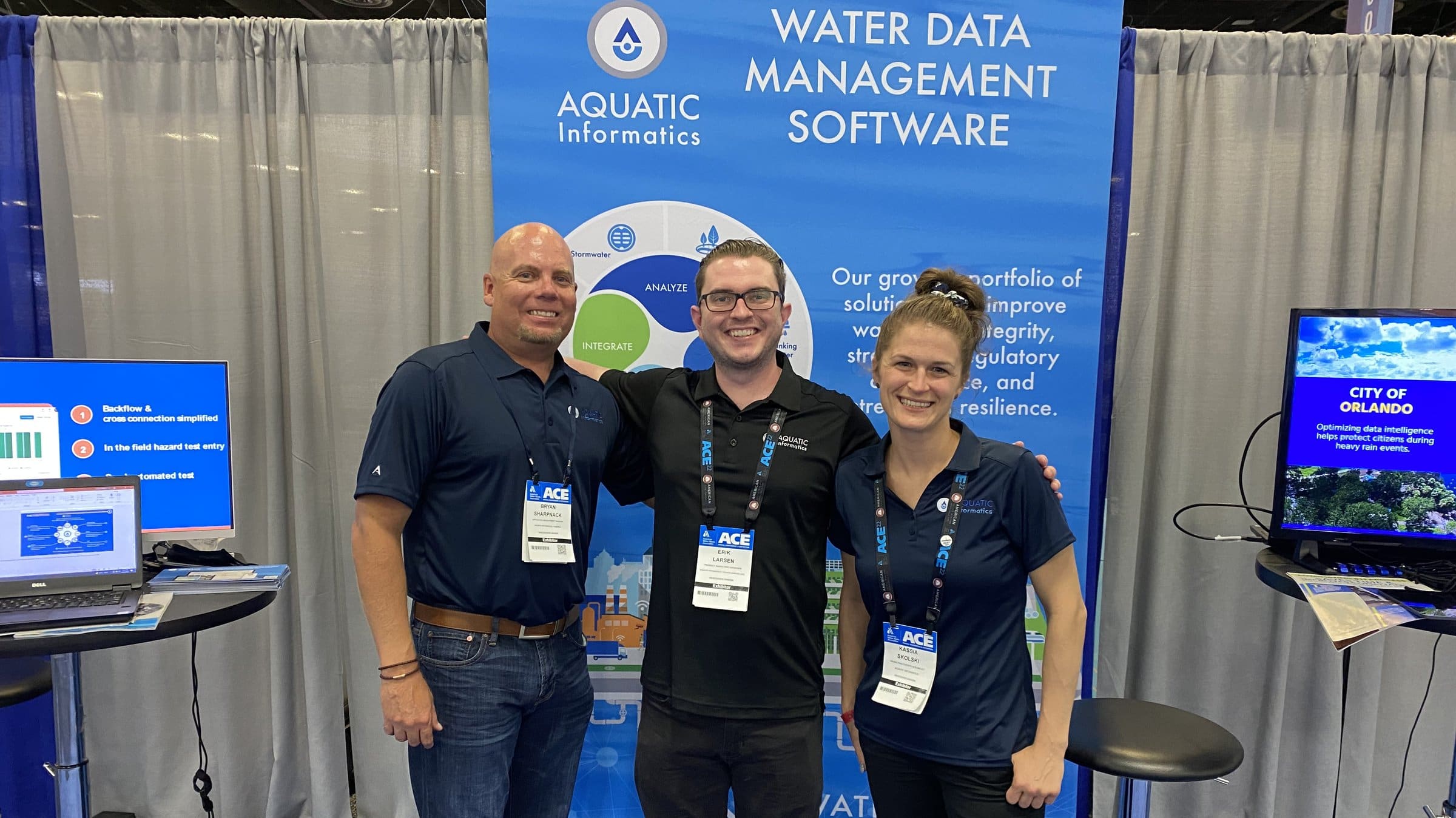
Press Coverage
By having a full picture, the plant manager and plant operators are able to get a better sense of the entire system when there is an abnormality, troubleshoot the cause, and determine what action needs to be taken.
LEARN MOREThe drive towards automation and advancement in low-cost sensor technology has many organizations overwhelmed with data and not knowing where to start. More data has been collected in the last several years than in all of previous human history. Knowing where to start and how to proceed are the hardest parts of data management.
LEARN MORE
The Trinity River Authority finds that using a water information management system revolutionized traditional plant operations and data collection.
LEARN MORE
Following a nitrification event, the City of Kilgore ditched spreadsheets for centralized data management Rio, allowing quick access to historical data. Read page 16-17 to learn more.
LEARN MORE
The latest version of Rio from Aquatic Informatics includes a Sample Manager to streamline sampling, monitoring and reporting workflows for wastewater systems.
LEARN MORE
Understanding the differences between types of data and how they can be utilized in the stormwater industry is vital.
LEARN MORE
Onsite Central proactively combats wastewater spillage with reliable flow measurement and analytics from Aquarius software.
LEARN MORE
Smart data management enables the University of Freiburg to make important hydrological discoveries.
LEARN MORE
The reliability and streamlining of processes with the new software have enabled NeDNR to get all their records up to date when they were often months behind. With so much data collection on a daily basis, managing this information can be an enormous task without effective tools.
LEARN MORENews
We are happy to share some exciting news about the progressive steps Aquatic Informatics is taking to champion Diversity, Equity,…
LEARN MOREAquatic Informatics Announces HydroCorrect: a new automated data validation tool that can power proactive monitoring in Aquarius™ platform.
LEARN MOREAquatic Informatics is pleased to award the latest Ripple Effect grant to the Eastern Pennsylvania Coalition for Abandoned Mine Reclamation (EPCAMR). Ripple Effect is a software and service donation program that will enable EPCAMR to acquire, process, and model data using Aquarius software, and share insights with stakeholders for cleanup and restoration of waterways.
LEARN MOREAquatic Informatics announces the launch of Rio, the next generation in cloud-based compliance and operations data management solutions for water and wastewater utilities.
LEARN MOREAquatic Informatics is pleased to award the latest Ripple Effect grant to the Eastern Pennsylvania Coalition for Abandoned Mine Reclamation (EPCAMR). Ripple Effect is a software and service donation program that will enable EPCAMR to acquire, process, and model data using Aquarius software, and share insights with stakeholders for cleanup and restoration of waterways.
LEARN MORESedaru, Inc. announces the launch of the next generation Sedaru OMNI Platform, improving the flexibility, power and reach of core work order, asset management, and operations management capabilities to empower utilities in their digital transformation.
LEARN MORESedaru Inc. has been acquired by Aquatic Informatics, and will join Danaher’s Water Quality platform. Headquartered in San Dimas, California, Sedaru provides software-as-a-service (SaaS) solutions to address critical water infrastructure asset management and provide real-time monitoring of water system operations.
LEARN MOREAquatic Informatics is pleased to award the Ripple Effect grant to the Upper Fraser Fisheries Conservation Alliance (UFFCA). The Ripple Effect is a software and service donation program that will enable UFFCA to build in-house capabilities for data quality management and reporting using the AQUARIUS analytics software.
LEARN MOREAquatic Informatics’ cloud-based environmental data analytics platform, AQUARIUS, has received the ISO/IEC 27001 standard certification. This certification recognizes the highest level of security for the protection of customer information within the AQUARIUS Cloud platform. The standard applies to software development, customer success and cloud operations.
LEARN MOREThe program is a joint initiative of the American Society of Transplantation (AST) and the Canadian Society of Transplantation (CTS). The Circle of Excellence is aimed at ensuring living donors are given the leave required to recover from the surgery and receive salary support by their employers during this period.
LEARN MOREAquatic Informatics’ new software donation program – Ripple Effect – is calling for submissions from Indigenous communities for projects on sustainable monitoring of watersheds. The successful candidate will receive a subscription to AQUARIUS Software-as-a-Service (SaaS) analytics program used by water monitoring agencies around the world to acquire, process, model, and publish water information in real-time. Aquatic Informatics employees will volunteer their time to support this initiative and get the successful awardee up and running on the platform.
LEARN MOREAquatic Informatics Inc. has been acquired by Veralto's Water Quality Segment from XPV Water Partners. Aquatic Informatics provides software solutions that address critical water data management, analytics, and compliance challenges for the global water industry. The business is the trusted provider of water management solutions to over 1,000 organizations around the world that collect, manage, and make decisions with large volumes of water data.
LEARN MOREAwards
Recognized for the 3rd Year as One of British Columbias’s Top Employers in 2023
Top 100 Fastest Growing Companies in B.C. in 2016 and 2019.

Project Merit Award for the success of the USGS water software modernization project.
Aquatic Informatics was named a 2016 finalist for the Water’s Next Award

Recognized as one of Canada’s Top Small & Medium Employers for three consecutive years
Media
ABOUT AQUATIC INFORMATICS 225 WORDS
Organizing the world’s water data to make it accessible and useful.
Aquatic Informatics provides software solutions that address critical water data management, analytics, and compliance challenges for the global water industry. We are the trusted provider of water management solutions to over 1,500 organizations in more than 60 countries around the world that collect, manage, and process large volumes of water data.
At Aquatic Informatics, we have rallied around our mission to protect life with open and timely water information, by organizing the world’s water data, and empowering industry experts to make data-driven, smart decisions.
A Canadian company founded in 2003, Aquatic Informatics is the world’s largest water data management software company comprised of six brands, AQUARIUS, WaterTrax, Linko, Tokay, WIMS and Sedaru, focusing specifically on providing solutions to governments, utilities, and industries to solve the most critical problems across the water cycle.
From source water through to the receiving environment, our interconnected data management platforms drive the efficient management of water information across the water cycle to protect human health and reduce environmental impact.
In July 2020, Aquatic Informatics was welcomed into the Veralto Water Quality Segment to partner with municipal, environmental and industrial organizations in addressing many of the most critical challenges faced in the water sector today—joining leading water technology companies such as Hach, ChemTreat, OTT HyrdoMet, Trojan Technologies, Pall Water and Sea-Bird Scientific.
ABOUT AQUATIC INFORMATICS 100 WORDS
Organizing the world’s water data to make it accessible and useful.
Aquatic Informatics is a mission-driven software company that organizes the world’s water data to make it accessible and useful. As the world’s largest water data management company, and with more than 1,500 customers in 60 countries, Aquatic Informatics is unique in that it provides information technology solutions for all water: source water, drinking water, municipal and industrial wastewater, and the receiving environment.
From source water through to the receiving environment, our interconnected data management platforms drive the efficient management of water information across the water cycle to protect human health and reduce environmental impact.
Press Inquiries
To get in touch for all media requests at Aquatic Informatics,
please contact Kevin Martin at kevin.martin@aquaticinformatics.com