Stormwater & Urban Water Resource Data Management – City of Lake Oswego
“The future depends on what we do in the present.”
- Gandhi
As a practicing Aquatic Ecologist for more than 12 years before founding Aquatic Informatics, I spent most of my time in the field collecting data and obsessing over the quality of the data. Now 10-years later, as CEO I seem to spend most of my time on planes or in meetings – very far those tranquil days wading across creeks with a current meter, calibrating sensors, collecting water quality samples, or scrapping periphyton off rocks. I still do obsess about data, but primarily vicariously through our customers around the world. As such, I really enjoy connecting with our customers and talking about how they are leveraging AQUARIUS.
This blog provides an opportunity to voice current opinions and best practices to improve the future of hydrometric and water quality monitoring and data management. It provides a forum for members of the community to share their failures and successes. To ensure that the voices of AQUARIUS customers are heard, I would like to start sharing customer case studies. This way environmental monitoring agencies of all sizes can benefit from a better understanding of how their peers are collecting, storing, analyzing, and reporting on their water data.
We recently interviewed one of our longtime customers, David Gilbey, with the City of Lake Oswego in Oregon. I first met David at the 2005 AWRA conference in Seattle. David, like many scientists in our field, is highly passionate about his work and cares deeply about collecting high quality data for better decision making. After seven years, David still sends me interesting publications, conference notifications, and industry tid-bits.
The City of Lake Oswego is part of the Portland Metropolitan Region and must maintain compliance with a federal National Pollutant Discharge Elimination System (NPDES) Municipal Separate Storm Sewer System (MS4) permit, as well as show progress toward meeting Total Maximum Daily Load (TMDL) Waste Load Allocations. The City has been using AQUARIUS as an urban water resource data management platform, which has enabled them to meet their regulatory monitoring and reporting requirements more efficiently, while improving their urban water resource management efforts.
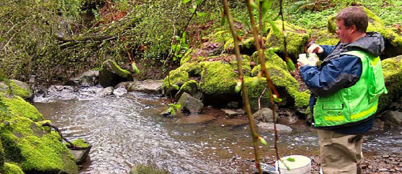
The City of Lake Oswego’s monitoring networks consists of six weather stations located around the City, two stream gaging stations, and seven water quality grab stations. All of the data is centralized and managed on the City’s AQUARIUS Server.
“With all the data points that the City collects, we would need 3 or 4 more people to perform data management without AQUARIUS. It helps us answer important questions, effectively and accurately, like are we meeting the goals for our stormwater permit? Are we making progress toward meeting the load allocations?” - David A. Gilbey, Water Quality Program Coordinator, City of Lake Oswego
The City is able to more effectively track, quantify, and communicate the success of its efforts in meeting its regulatory conditions and operational goals. In his recent interview, David commented “now with AQUARIUS, I can look at the weather station data, overlaid with the gage data, overlaid with the field measurements and grab sample data. All the data, QA/QC, and analysis are managed in one place”. The City can quickly model the pollutant loads being discharged, almost in real time, based on the actual continuous flow data and the turbidity and TSS data collected. “That is the telltale data that confirms that all our urban water resource management efforts are making a difference. And it’s the data that helps us communicate the results of our efforts to tax payers and policy makers.”
To learn more, like how the City was able to catch and stop illicit discharges with real-time alerts, you can download the entire case study here.

