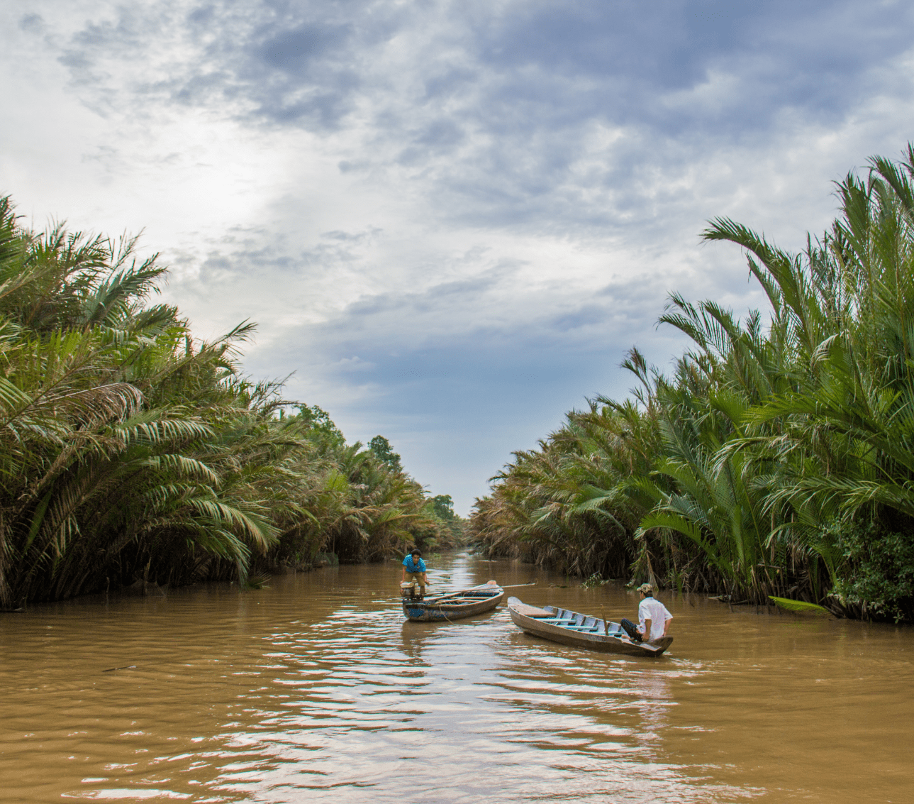
The Mekong River is the third largest river in Asia, originating in the Tibetan Plateau and running through China, Myanmar, Laos, Thailand, Cambodia and Vietnam. Millions of people rely on the river for transport, fishing, agriculture, and more recently hydropower.
Protecting this water and promoting collaborative sustainable use of the river is vital to the peace and prosperity of the region.

The Mekong River Commission Secretariat (MRCS) is an intergovernmental organization that is tasked with providing the basin’s four countries – Cambodia, Laos, Thailand, and Vietnam with information to sustainably manage and share this critical water resources. To do this effectively you need dialogue and cooperation, and a lot of data and information to support your analysis for balancing protection and development.
MRC collection of data can be traced back to the 1950s, with scientists and researchers going into the field and measuring, recording, and cataloging information. Today MRC collects data from more than 600 stations.
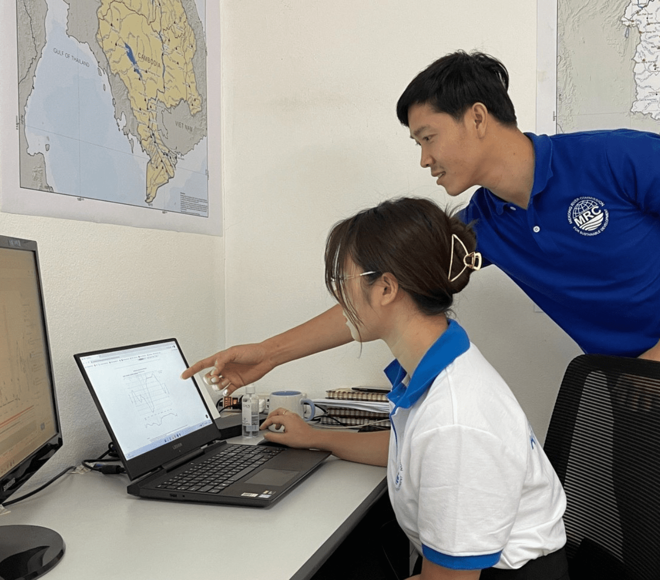
Prior to 2016, this data was collected in excel spreadsheets, which made it difficult to work with and was limiting when it came to sharing meaningful outcomes. With the addition of sensors, MRC was capturing more data and was still receiving manual entry data from its member countries. Turning massive amounts of raw data into usable information requires modern data management software.
We recognized the need to centralize our data so that we could run quality assurances across the board and then turn this data into meaningful actionable insights that are easily accessible for all stakeholders in a timely manner. This is way beyond the limits of spreadsheets and manual entry.

As the population in the area increases so does the need for more food sourced from the river and water to irrigate the farms. As development expands, valuable wetlands shrink and the whole ecology of the river is affected. MRC monitors the health of the river for fisheries and collects water quality data to identify potential contaminants. The software gives MRC flexibility to measure water velocity, turbidity, carbon dioxide, photosynthetic light, and chlorophyll levels. The information provides the basis for constructive discussion between river communities and governments on the implications of water usage and infrastructure developments.
All of the Mekong Basins’ discrete data on water, air, soil, and biology are securely stored and validated in the Aquarius platform for rapid analysis and visualization. The software makes it easy to integrate data from different sources, such as rainfall and stream loggers as well as weather data. It also included integrating data from upstream partners like China. This transboundary lens on data analysis allows communities at one location of the river to better understand water trends occurring at another.

The region is known for extreme seasonal variations causing flooding and drought. A major increase in flow can cause rapids in the river making navigation difficult. The MRC data and information service portal can automatically inform authorities of rapid changes in flow levels outside of any set parameters, enabling authorities to warn the public, and water traffic, and prepare emergency services if necessary.
Climate change is amplifying the need for better forecasting of floods and drought. Using data within Aquarius Time-Series data management users can investigate various climate parameters, such as rainfall and mean temperatures on an interactive map and assess the impacts of changing weather.
Having all our information securely stored and available online provides us with the opportunity to collaborate with other research institutions and organizations, further deepening our understanding of impacts on the region’s hydrological and ecological conditions

The MRC Data Portal allows users to search, discover, and download over 10,000 datasets, including current and historical hydro-meteorological and climate time-series, spatial maps, atlases, photographs, and sectorial datasets that can be easily searched and filtered. For example, visitors can view daily or weekly water levels at various hydrology stations along the Mekong on an interactive map and examine weekly flood situation reports from 2008 onwards on the flood forecasting sites.
The new Aquarius platform has strengthened MRC’s role as the regional transboundary knowledge hub. They now have one voice for one river, allowing researchers, practitioners, and policymakers to access quality assured scientific data and information, and easily monitor and understand the current trends of the Mekong River Basin.

