Consulting & Engineering

Trusted by leading consultants and engineers


When it comes to your clients data, there’s no room for error.
Data that ranges in type and origin can require significant time investments and manual effort to consolidate, validate, and normalize for meaningful analysis.
Protecting clients from liability or fines means maintaining raw and corrected data for defensible reporting and protection incase of audit.
Managing data across multiple paper records and spreadsheets slows operational efficiency, increases response time, and reduces decision-making effectiveness.

Centralize Water Data Management & Analysis
Access any data source in real-time
Extend the value of existing investments in hardware or systems by connecting them into a single source of truth to transform any type of data into contextual intelligence.
Perform complex analysis—quickly
Improve efficiency with a scalable platform that offers powerful data review tools, calculation engines, custom compliance parameters, and visualization that turns data into stories.
Highest quality data possible
Easily visualize, scan, and QA/QC data with automated error detection and intuitive correction abilities that compares historic time-series or discrete data with a defensible audit trail.
With Aquarius we manage our continuous stage records and real-time discharge, so our clients can monitor their watersheds nearly instantaneously. We can deliver high quality, reliable data with greater details for our customers
Build a better future with better water data.

Let Your Data Do The Heavy Lifting
Alerts and actionable intelligence for crisis management
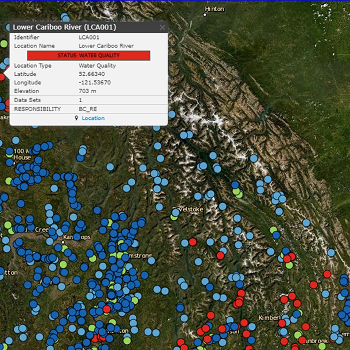
Define unique compliance parameters to easily see location status, display warning insights in graphs and maps, or deliver notifications for proactive response.
Share real-time insights
Make information available online with user-defined viewing permissions for internal or external stakeholders to self-serve information and increase transparency.
Faster, better decision making
Use powerful charts, public map layers from NOAA, and contextual visualization to forecast and convey technical and non-technical information in real-time for faster decision-making.

Herrera Environmental Consultants
intervals at which environmental data is logged
