The Otago Regional Council (ORC) has recently switched to a new environmental data portal, making it much easier to access more than 250 water monitoring sites around Otago,
improving access to critical information for customer and compliance staff.
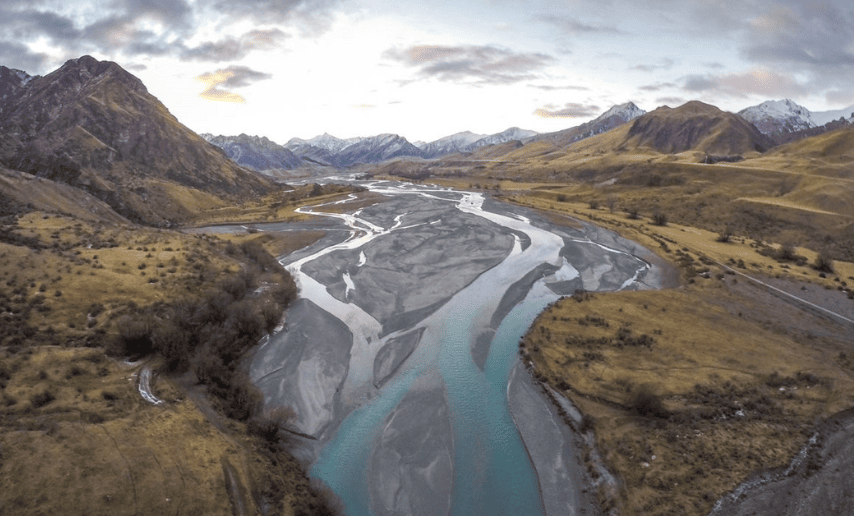
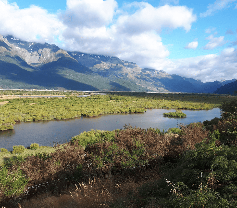
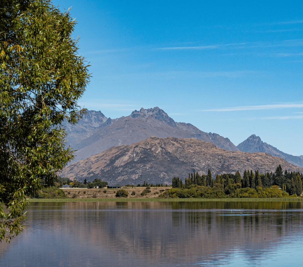
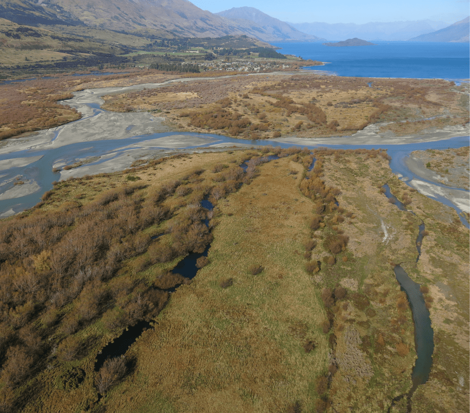
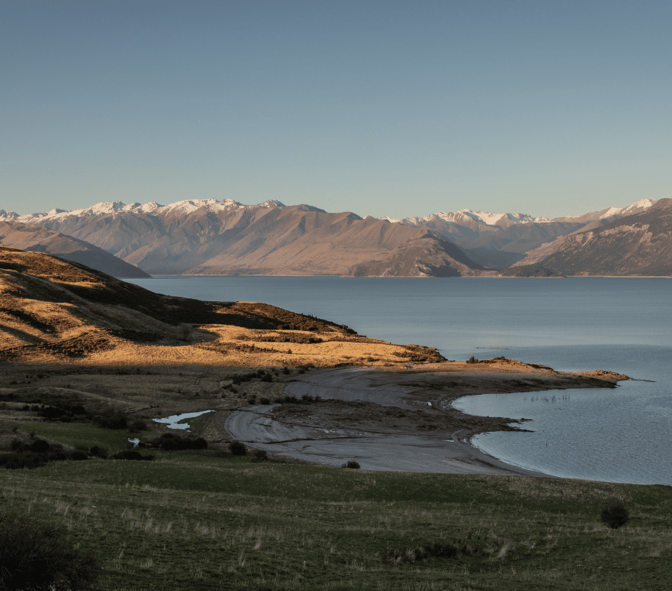
Otago is New Zealand’s third largest region with a diverse landscape and many water resources including alpine lakes, rivers, groundwater and wetlands. Approximately 23% of
New Zealand’s Lake surface area, occurs in Otago. The Clutha River/Mata-Au drains much of the Otago region and is the largest river in New Zealand in terms of the quantity of water carried each year.
The Clutha and its principal tributary, the Kawarau River, pass through spectacular gorges, two of which are dammed for hydro-electricity generation. With such a large and varied landscape, Otago has an equally diverse hydrology with high rainfall in the Southern Alps to low rainfall in the semi-arid Central Otago valleys. This, coupled with high seasonal evaporation rates, can affect the supply and quality of Otago’s water bodies.
Despite the generally large water volumes present in the region, some parts of Otago are among the driest areas in New Zealand. The Otago Regional Council (ORC), which oversees the sustainable management of the region’s freshwater resources, monitors environmental data and regulates the consumption, damming, and diversion of water, as well as water discharge that may result in a contaminant entering another source of water.
Together with Aquatic Informatics, ORC have created a new environmental data portal to replace the existing flood and low flow warning sites used by regional farmers, students,
scientists, academics and other residents. The new portal now also includes water quality.
Improving the Customer Experience
Simon Wilson, Manager Regulatory Data and Systems for ORC, said, “The new system will give people access to a user-friendly map which includes improved context of what is happening across the region, plus the ability to view and download historical data.”
The portal will collate data from more than 250 water monitoring sites around Otago and replaces the existing flood and low flow warning sites currently available on ORC’s
website. As well as provide greater access to a broader range of information beyond the standard river flow and rainfall sites, that also includes a variety of water quality parameters such a E-Coli. In some cases that means people will be able to easily access up to 80 years of data.
We know the current website is well used, particularly during flood events. The new portal will provide a much better at-a-glance picture of what’s happening throughout Otago.
Modernizing Regulatory Compliance
ORC monitors compliance with approximately 1,600 consents (permits) for the use of water, and a further 500 (approximately) discharge consents. Customers vary and include, farmers, industry, forestry, district water providers, treatment plants and others.
Some of these customers may have multiple consents and each consent is individualised to the area, usage constraints, seasonable variabilities, contaminant levels, time periods etc. Managing all these consents as efficiently as possible is vital to ensuring customers are within compliance and that Otago’s water consumption and quality is well managed.
ORC chose Aquarius, a software platform created by Aquatic Informatics that is used by water monitoring agencies around the world to acquire, process, model and publish water information in real time. ORC is in the process of creating dashboards for each consent and has built 1,000 so far. The dashboards provide a single point for regulatory staff to view all the consent variables in one place with powerful charts and contextual visualization.
Using the dashboards means our staff don’t have to constantly reinterpret consents, or check what data needs to be pulled together to ensure a consent holder is compliant. This consistency and standardisation is extremely valuable and a real time saver.