How do you secure sustainable and increased access to water and sanitation in the face of stressed water resources?
If you had to choose between hydroelectricity or food security through irrigation, what would you do? And what to do about environmental integrity in the riparian zone with its rich flora and fauna? Or can we find a compromise and manage our river systems in a coordinated way that achieves most of our objectives? But do we accept the inevitable trade-offs?
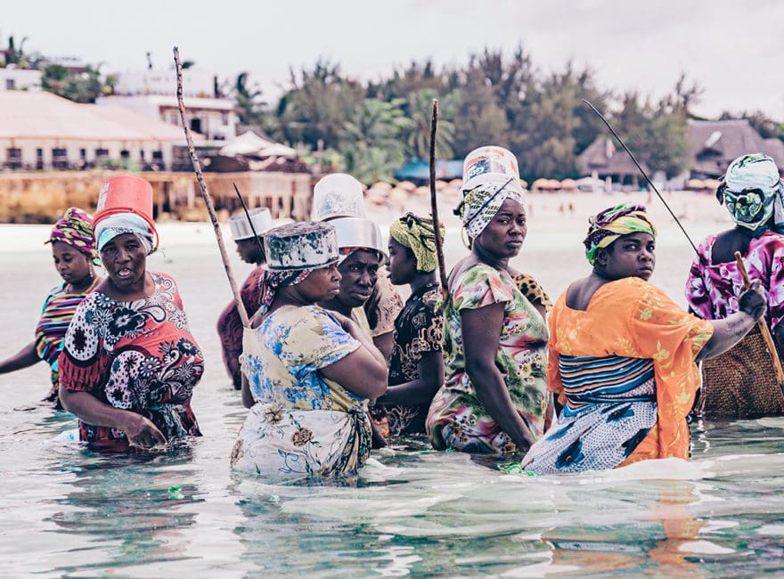
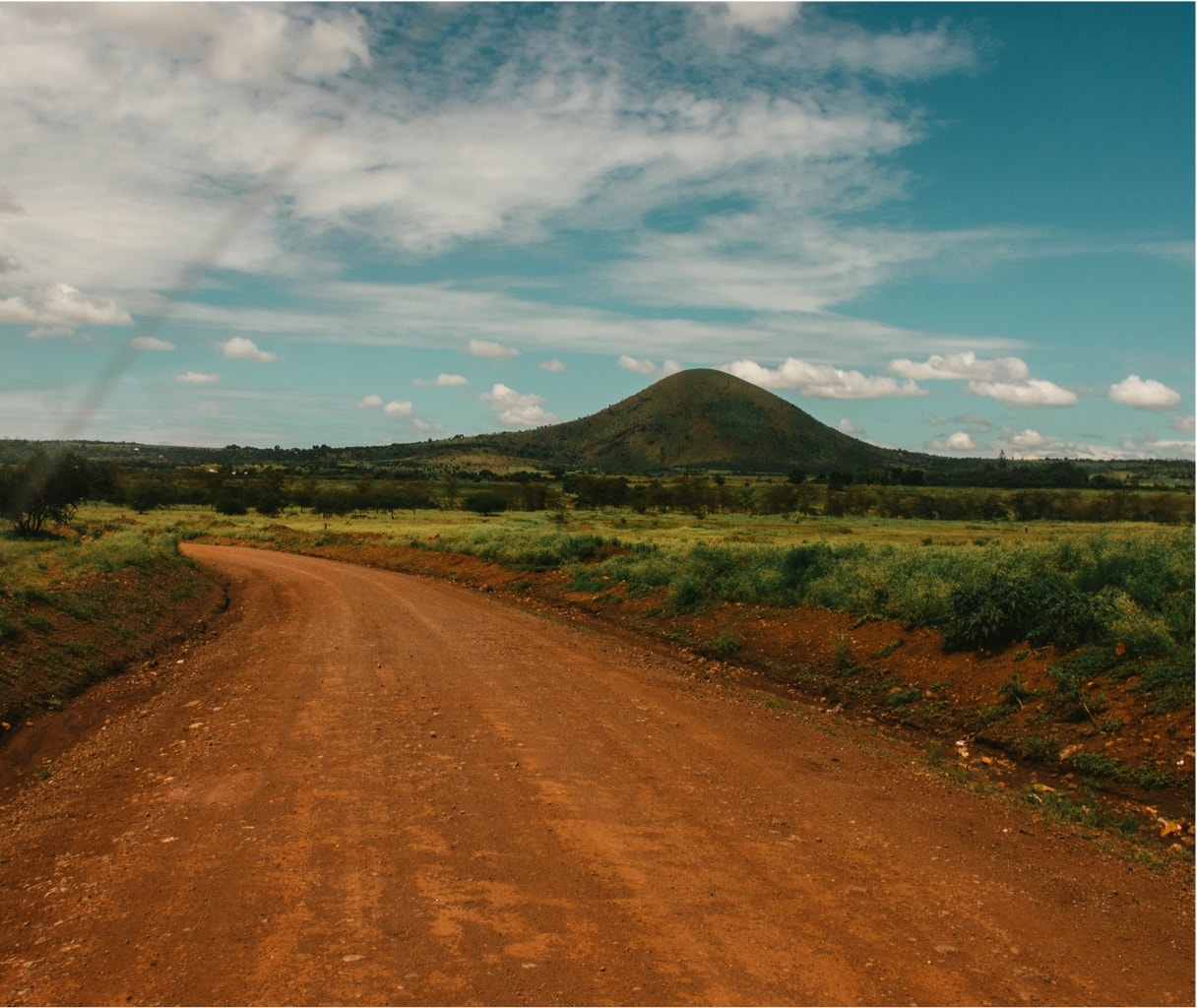
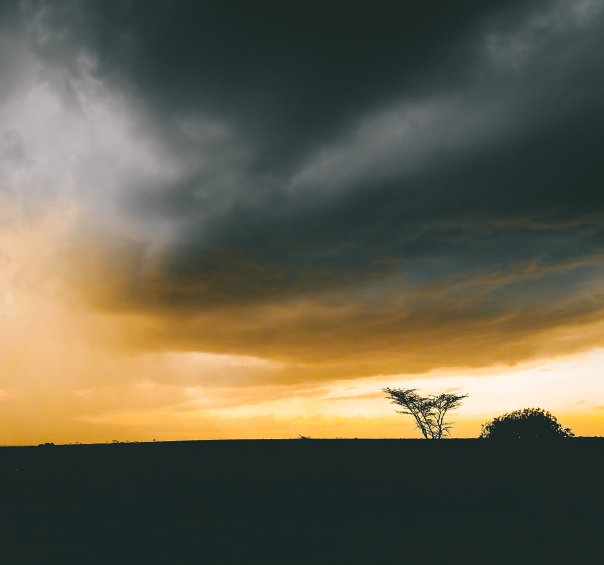
Collecting reliable water data in Wami-Ruvu and Rufiji basins
Accurate information on the quality and quantity of the water resources of the Wami-Ruvu and Rufiji basins is required as a basis for socio-economic development in these basins. The Nyerere Hydropower Project —a proposed 2,100-Megawatt hydroelectricity plant in the Lower Rufiji—and the large potential irrigation schemes along the Kilombero are just two examples of important water-related development projects that may impact the socioeconomic development trajectory of the entire nation. The two basins also have critical environmental value in the Ruaha, Kitulo, Mikumi, Selous, and Udzungwa national parks, while providing water supply for vast and fast-growing urban areas such as Dar es Salaam and Dodoma.
Pressure on water resources within the Wami-Ruvu and Rufiji basins is increasing to unprecedented levels because of ongoing population growth, food security concerns, and socioeconomic development, while climate change is altering the rainfall pattern and availability of water resources.
These questions can only be answered if you have good and reliable water data.
Customer Data Highlights


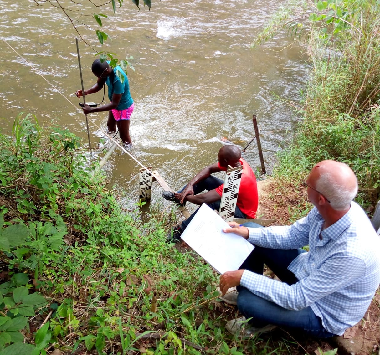
Precision Measurement & Analysis in Kizigo River
A single precision measurement on the Kizigo River provides an example of how modern measurement and analysis techniques can help enormously with the determination of river flow over an extended period of time.
On the Kizigo River, in a four-year period in the 1970s, more than 250 streamflow measurements were collected, and then a few more measurements were made in the early 1980s. The difficult terrain meant that since then, no more reliable measurements were conducted, and hydrologists were unable to determine the rating curve and by association the stream flow record.
This measurement of the flow of the Kizigo River is vital as it is the largest contributor to the Mtera reservoir, which provides water for the Mtera hydro-electric facility. Streamflow data for the Kizigo River is needed to plan the operation of the power plant’s turbines. Yet this information has not been available with any degree of confidence for the last three decades.
River flow is one of the more difficult variables to measure on a continuous basis, so it is commonly derived by converting daily level recordings into discharge by using a rating curve. Establishing the shape of the rating curve historically requires lots of streamflow measurements. However, in this case the difficulty of accessing the remote station and insufficient funding for a field measurement program meant data was scarce.
To solve this problem, WARIDI used AQUARIUS Time-Series software to redevelop rating curves using a robust conceptual model that requires far less field data. This “hydraulic” approach is based on the premise that the parameters of the rating curve function can be inferred from field observations of river channel properties. Discharge measurements at the station’s control section then serve to calibrate and fine tune the conceptual model.
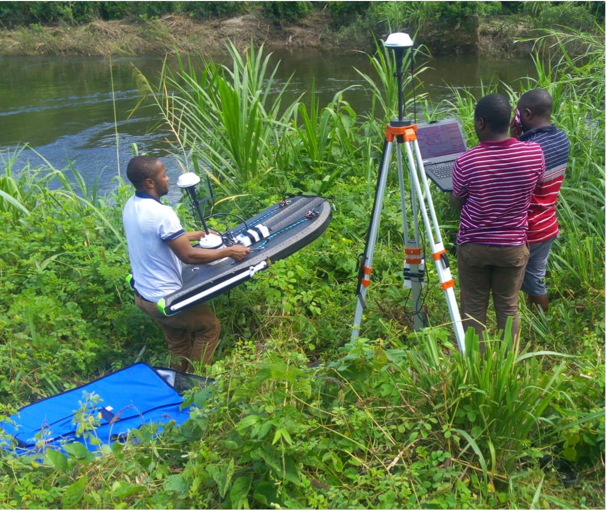
WARIDI has supported an extensive field measurement program to collect up-to-date station data needed to develop the conceptual rating curve models: 16 stations were visited in the Wami-Ruvu basin and 26 in the Rufiji basin—including hydro station Chinugulu at Kizigo. WARIDI trained 10 hydrologists from Wami-Ruvu and Rufiji Basin Water Board Offices on river flow measurements using state of the art Acoustic Doppler Profilers and on AQUARIUS software to improve rating curves and sustain application of both practices by Basin Water Office staff.
The visit to Kizigo station took place during the rainy season in March. Water levels were high, and the river was in full flood stage. A high-quality discharge measurement was conducted—the first for a flood event for Kizigo in over 40 years. This single data point proved invaluable in re-establishing the rating curve parameters and calculating the discharge for the entire historic data record.
A single measurement provided the verification. AQUARIUS provided the tools.

Through the web portal, KWS’s valuable data is now instantly available for many different people such as climate change researchers, local governments, engineers, ecologists, local residents, farmers, and many more. As more data is accumulated over time, sharing of that information with groups such as WSC, BCMOE, and other research institutes is expected to result in larger research projects that can help guide conservation efforts, land use planning, development decisions, protection of water supplies, and forest management. It can also provide insight into predicting floods and slides, water supply, and impacts of a changing climate.
“One of our goals is to build partnerships with new data users so our insights can be used to keep our communities safe and sustainable through research, community planning, and decision-making around climate change and water resource needs,” said Saso.
The new platform is scalable so KWS can dial up the number of users and type of data collected and manage how this data gets used and by whom. They can make custom dashboards with intuitive maps, alerts, and live reports empowering the different stakeholders with useful timely information to make better decisions. All of this is available through the web portal, making it accessible from any connected device.
“Thanks to our sponsorship from Aquatic Informatics we now have a tool that ensures we have accurate, accessible, secure data all in one place. It has empowered us to share our valuable understanding of local watersheds with the public, scientists, local governments, and water agencies in order to bring awareness to the health of our watersheds and help us plan and prepare for sustainable and healthy ecosystems and communities into the future.,” concluded Saso.