About the Wyoming State Engineer’s Office
Since 1890, the Wyoming State Engineer’s Office has been responsible for the management and administration of water rights throughout the state. “We are in charge of any consumptive use and non-consumptive use that the state’s water is put to, any use that needs a permit,” explained Loren Smith, the Superintendent of Water Division III. “We have hydrographers, other field staff, commissioners, superintendents, and assistants in a number of offices across the state. They monitor reservoir water and groundwater as well as surface water flows. Agricultural, municipal, industrial, and commercial users and manufacturing uses all fall under our responsibility.”
The Wyoming State Engineer’s Office monitors continuous recording devices in over 400 streams, reservoirs, and canals, and operates numerous other continuous recording stations in co-operation with the USGS. In addition, there are recording stations run in co-operation with the National Weather Service and other federal and state agencies, as well as many non-continuous recording stations. All water data is collected, reduced, and compiled by the Engineer’s Office.
The Challenge: Compliance with USGS Standards
Since 2008, the State of Wyoming has relied on Aquarius software to import, process, visualize, and manage their water data. The Aquarius platform replaced a water data analysis system that had been in place for many years, but which did not always produce results to the USGS standard, according to Loren Smith. “We were running into differences – sometimes small, sometimes significant – between our final numbers and what the USGS was coming up with on the same dataset.” The Engineer’s Office evaluated a number of vendors, seeking a software package that would provide the accuracy of the USGS system, and bring new features and flexibility as well.
The Solution: Aquarius
Water professionals with the Wyoming State Engineer’s Office were immediately impressed by the ease and flexibility of rating curve development in Aquarius. “The Ratings Package stands out. It’s a tool that we’ve wanted forever, and we’ve finally found something that really does what we had in mind,” said Loren Smith. Compared to the competition, he continued, “Aquarius is more intuitive. It’s easy for anyone to grasp how a rating curve is developed and why it’s developed the way it is.” He added, “It’s flexible – you just grab a line and adjust which curve you’re using, and how that curve relates to the measurements or the actual skeletal points. That wasn’t possible before.”

Rapid & Effective Digitization of Chart Data from Older Sensors
The Engineer’s Office had some specific demands for the Aquarius platform. They required a way to integrate their historical data into a complete searchable database of current and historical data. In addition, they wanted to quickly and accurately digitize the paper chart data, produced by hundreds of older water level recorders that are still in use.
Aquatic Informatics worked closely with them to meet their needs. “Aquatic Informatics designed a toolbox for us that digitizes the paper chart data and creates a digital record,” said Loren Smith. “The customer service we’ve received has been better than we expected. They’ve been very willing to work with us in developing the solutions to fit our needs, and helping get us to where we are.”
We have improved the accuracy of our records, which is critical. Creating a reproducible, archiveable, dependable record – and being able to reduce and publish that record to USGS standards, which is the standard for us – that’s the big plus! The Ratings Package also stands out. It’s a tool that we’ve wanted forever, and we’ve finally found something that really does what we had in mind. Combined with Aquarius WebPortal we are now sharing data with our users in real-time, helping them as well as us make better management decisions. That wasn’t possible before.

Accurate & Archiveable Water Data
Loren Smith is clear that the system’s primary benefits are its accuracy and its audit trail. “Since purchasing Aquarius software in 2008 for our agency, we have dramatically increased the accuracy and quality of our stream gaging network state-wide. Creating a reproducible, archiveable, dependable record – and being able to reduce and publish that record to USGS standards, which is the standard for us – that’s the big plus. All records are now collected and reduced to USGS standards, which has also contributed to a much more reliable data set to work with.”
The Wyoming State Engineer’s Office implementation of Aquarius runs through Citrix servers to provide high-performance remote access to Aquarius toolboxes and datasets. Loren Smith feels there is tremendous value in centralized data management. “Things we used to do with paper documentation are now automated. We’ve brought all the paper files from our dozen field offices into one centralized database. The data are secure and no longer spread all over the state.”
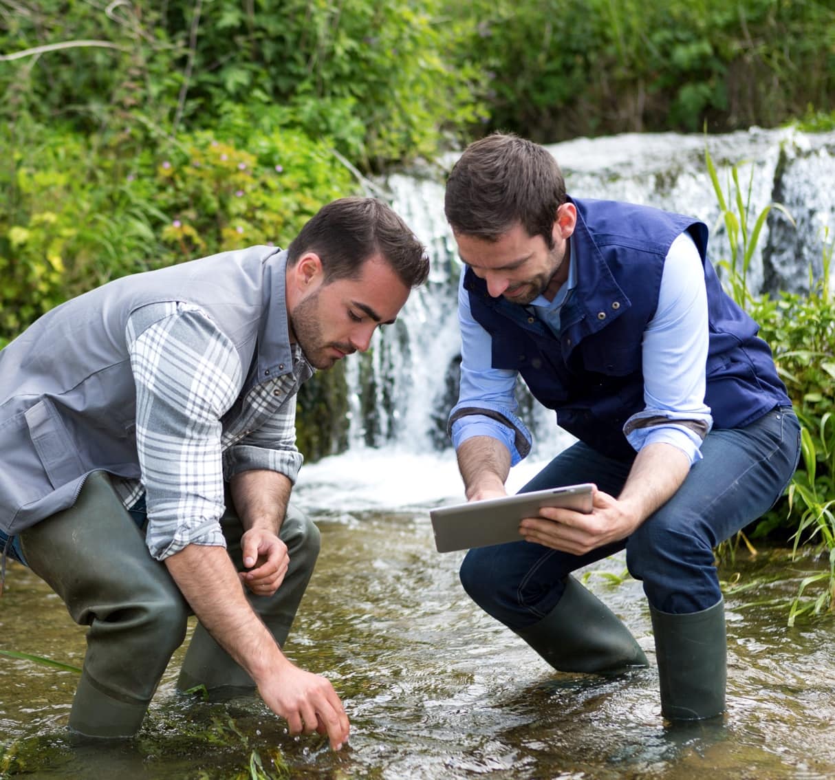
The Aquarius platform continually saves and archives Wyoming’s water data and the processes that are applied to data. Loren Smith said, “We archive the original data along with the whiteboard schematics and any corrections that have been applied. Anybody can come back at a later date and see how a record was computed, and reconstruct the computation of that record.”
Archiving the complete record is critical, because the department cannot predict what their historical data might be used for. “Our water data are frequently used in lawsuits and cases, from the State Board of Control to the Wyoming Supreme Court and even in the U.S. Supreme Court,” he said. When a water-use conflict arises it may be essential to go back and re-evaluate a dataset from an entirely different perspective. If the original, uncorrected data were lost, a re-examination may not be possible. “In a litigation situation, we know we can call upon the correction history and audit trail that’s saved in Aquarius,” added Loren Smith.
With over 400 gaging sites collecting data in all corners of Wyoming, the time savings in records reduction have been well worth the investment. Field staff must reduce the collected data to publishable form and by employing the Aquarius software, we have realized about a 50% time savings across the board, freeing up valuable, limited staff time for other important work.

Integrated Groundwater Data Management
By centrally storing all surface and groundwater water data, Aquarius is integral to the agency’s work with other Federal and State agencies that rely on Wyoming data to support modeling, research, and water management decisions. “We have worked to host our groundwater data using the Aquarius platform as well, thus providing users with all of the available data we have on this precious resource, which we are constitutionally charged with administering. The future demands for this data will only continue to increase with time and we feel we are well poised to respond to those demands.”
Making Data Accessible & Relevant for Public Distribution
Every year, each division of the Wyoming State Engineer’s Office produces an Annual Report. All water data and the associated charts and visualizations are produced entirely using the Aquarius platform.
“By also employing Aquarius WebPortal to serve up near real-time data to our field staff, as well as the public, fact-based decisions can be made on the fly with confidence. Agency field staff is spread across the state, managing water on a daily basis and these tools enable them to make defensible decisions while maintaining the data that drives those decisions,” shared Loren Smith.
50% Efficiency Gains Save Time
“With over 400 gaging sites collecting data in all corners of Wyoming, the time savings in records reduction have been well worth the investment,” concluded Loren Smith. “Field staff must reduce the collected data to publishable form and by employing the Aquarius software, we have realized about a 50% time savings across the board, freeing up valuable, limited staff time for other important work.”
