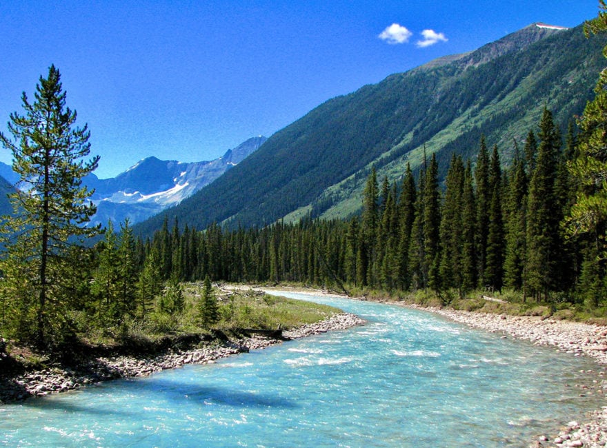
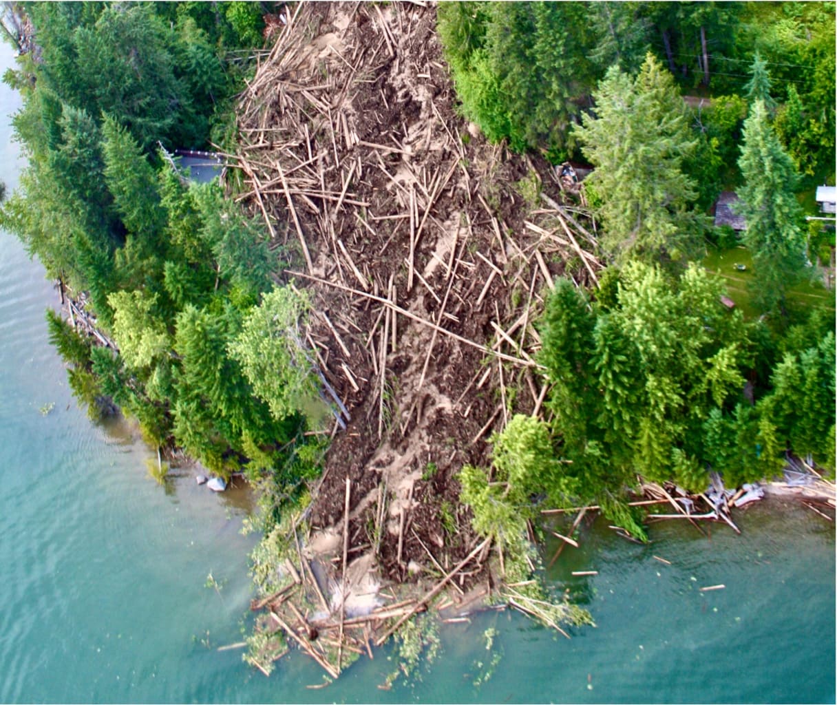
On a beautiful sunny July day in 2012, a portion of a mountainside gave way and 320,000 cubic metres of water, mud, rocks, and trees, careened down Gar Creek resulting in the devastating Johnsons Landing landslide in the Kootenays of BC, about one hour’s drive north of the town of Kaslo. The slide destroyed four homes, seriously damaged others, and killed four people. The following day, a series of debris torrents swept down the creek further damaging homes, narrowly missing emergency crews, residents, and journalists.
There were a number of factors that contributed to the event: a cool wet spring that kept high elevation snowpack at almost record levels in June; record precipitation in June and early July (~4 times average); a sudden shift to 30°C temperatures on July 4th; the presence of karst springs under the landslide site that were fed by the resulting rapid snowmelt; and highly altered bedrock that occurred in the area.
This tragic event underscored what many residents and local scientists in the area already understood. “We don’t know enough about the small and medium-sized watersheds that are so important to residents, and how those watersheds will be altered by climate disruption,” said Paul Saso, Hydrologist for Kootenay Watershed Science (KWS). Prior to the slide, some watershed monitoring had already been undertaken by the local community, and in other parts of the region by the Kaslo & District Community Forest Society (KDCFS). In 2016 this initiative was formally taken over by KWS (formerly known as North Kootenay Lake Water Monitoring Project).
“In 2012 we simply didn’t have the data to understand our watersheds in order to adequately plan for water resource use under climate disruption or anticipate the risks that could be associated with them. The understanding of our watersheds that we are now gaining through KWS monitoring efforts will enable our communities to plan for a safer and more sustainable future as climate disruption increasingly affects our watersheds,” said Saso.
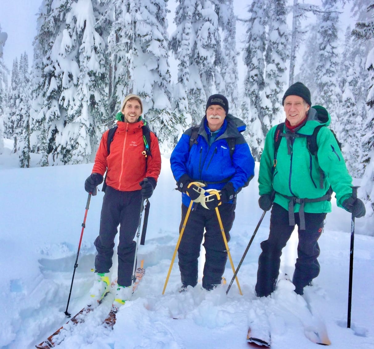
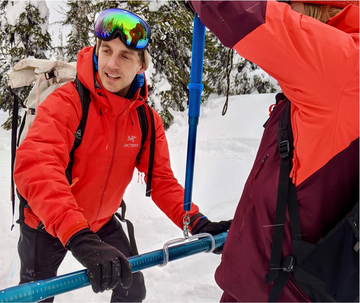
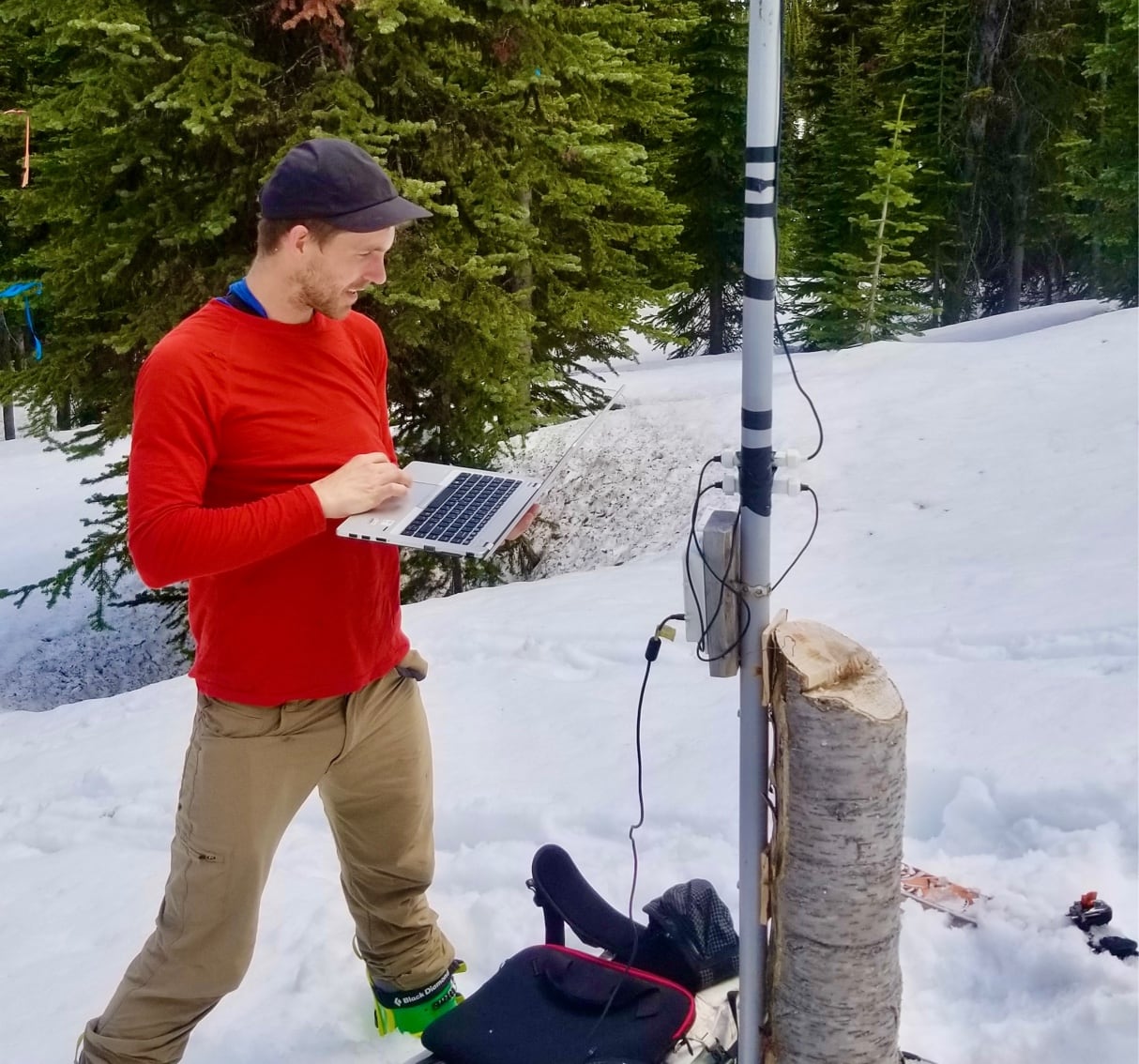
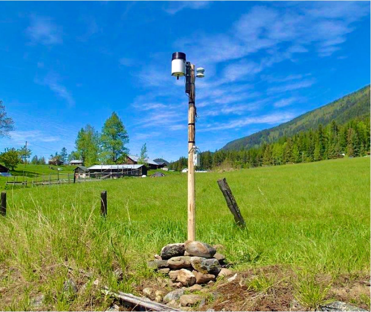
Today KWS has seven hydrometric stations, two high-elevation snow course stations, two high elevation climate stations, and one low-elevation climate station on the north end of Kootenay Lake. KWS uses a combination of professional hydrologists and volunteer citizen scientists to collect data and maintain the monitoring program. KWS is monitoring snow, streamflow, and climate in the Johnsons Landing area to better understand the hydrologic regime that contributed to the 2012 landslide, and identify signals that may indicate an increased risk of slides in the future.
In 2019 Saso realized that using excel spreadsheets to store and interact with data was limiting. He knew about AQUARIUS software but with KWS’s small budget, he knew they could not afford it. On a whim, he decided to send off an email to Aquatics Informatics, the developer of AQUARIUS. “I was sure it was a long shot and didn’t really think that they would be willing to sponsor us but I was thrilled when they responded telling me about the company’s plan to launch a new grant program.”
I was sure it was a long shot and didn’t really think that they would be willing to sponsor us but I was thrilled when they responded telling me about the company’s plan to launch a new grant program.
AQUARIUS is an analytics software program that is used by Water Survey Canada (WSC), BC Ministry of Environment, and monitoring agencies around the world. The software acquires, processes, models, and publishes environmental data in real-time. “When we received Paul’s email we were in the process of launching a new grant program called the Ripple Effect, and KWS’s community-based watershed monitoring program was an ideal fit for an inaugural award,” said Kevin Martin, Senior Marketing Manager at Aquatic Informatics who was involved in launching the Ripple Effect. A submission was made, KWS was selected as the recipient and they quickly started migrating data over to the AQUARIUS cloud platform.
“Once we began looking at our data in the new program, we were able to see everything in such detail and it was easy to find errors and correct them. It drastically improved the quality of our data as well as our understanding of our hydrometric sites,” said Saso. The software has a unique portfolio of capabilities for error detection, data cleansing and flagging, automatic bias corrections, and rating shift management. These automated procedures eliminate the majority of tedious manual data workup processes. By automating quality assurance and quality control activities, KWS now has greater confidence in sharing this information with researchers, local governments, and education partners like Selkirk College.
With better data management tools, KWS is now working with Selkirk College to give students from the Integrated Environmental Planning Program valuable field experience. This year students will be heading out in the field with Saso to conduct salt dilution discharge measurements on a local stream. The students have already learned how to measure stream discharge using a flow meter, so they will be comparing data from the two methodologies. “We are always excited to work with volunteers and offer opportunities for local residents and students to gain experience and knowledge about their watersheds as well as share our expertise in monitoring. Our partnership with Selkirk is a great boost in that regard,” said Saso.
Allison Lutz, Geography/Hydrology instructor in Selkirk College’s School of Environment and Geomatics, said “Working in partnership with KWS has enabled us to give students hands-on learning in the field with a professional hydrologist using local data, while also building community connections. Understanding hydrological processes and how our hydrological cycle is changing with climate change is important work for any environmental field.” Lutz will be working with Saso to incorporate KWS data into several labs and students will use KWS data to build simple rating curves.
In 2020, KWS joined forces with the non-profit Living Lakes Canada (LLC) to support the emerging Columbia Basin Water Monitoring Framework by supplying quality-controlled data to the Columbia Basin Water Hub open source database. This important new partnership meshed KWS’s team with a group of environmental professionals at LLC who run a myriad of cutting-edge science-based water stewardship and assessment projects, and in so doing, have created a bridge of knowledge and expertise sharing.
“Having our data in AQUARIUS gave us a new perspective on the enormous amount of historical information we had actually collected and now by sorting and layering data sets on top of each other, we are able to see a richer story behind the numbers,” said Saso. Building rating curves can be a complex task. A single rating for a channel contains ratings, shifts, blends, and periods of applicability that describe a channel as it changes over time. The rating tool in the new platform is the gold standard to support the latest global standards set by the US Geological Survey (USGS), International Organisation for Standardization (ISO), and the World Meteorological Organization (WMO). It is used by national agencies like the USGS and WSC to efficiently develop accurate and legally defensible rating curves, giving KWS confidence in their flow calculations.
We don’t know enough about the small and medium-sized watersheds that are so important to residents, and how those watersheds will be altered by climate disruption.
Through the web portal, KWS’s valuable data is now instantly available for many different people such as climate change researchers, local governments, engineers, ecologists, local residents, farmers, and many more. As more data is accumulated over time, sharing of that information with groups such as WSC, BCMOE, and other research institutes is expected to result in larger research projects that can help guide conservation efforts, land use planning, development decisions, protection of water supplies, and forest management. It can also provide insight into predicting floods and slides, water supply, and impacts of a changing climate.
“One of our goals is to build partnerships with new data users so our insights can be used to keep our communities safe and sustainable through research, community planning, and decision-making around climate change and water resource needs,” said Saso.
The new platform is scalable so KWS can dial up the number of users and type of data collected and manage how this data gets used and by whom. They can make custom dashboards with intuitive maps, alerts, and live reports empowering the different stakeholders with useful timely information to make better decisions. All of this is available through the web portal, making it accessible from any connected device.
“Thanks to our sponsorship from Aquatic Informatics we now have a tool that ensures we have accurate, accessible, secure data all in one place. It has empowered us to share our valuable understanding of local watersheds with the public, scientists, local governments, and water agencies in order to bring awareness to the health of our watersheds and help us plan and prepare for sustainable and healthy ecosystems and communities into the future.,” concluded Saso.